SURVEYING, POSITIONING AND GEOGRAPHICAL INFORMATION SYSTEM

We operate around the world, at sea, on land and in air using professional and highly specialized staff supported by advanced technologies and systems that adds value to our client in the following area of surveying and positioning.

    • Topographical, setting out and lay out survey
    • AS Built, Detailing and Pre-Engineering Survey
    • Geographical Information System and Area Mapping
    • Bathymetic, Geophysical and Underwater Inspection Survey
    • Well Head, Barge Positioning & Rig Movement
    • Hazard, Debris and Pipeline Route Survey

We provide a remote sensing and GIS application as well as multimedia and web spatial data presentation, we also provide a wide range of value added services for remotely sensed data and GIS applications

SURVEY)
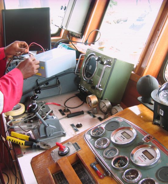
Sailing out for survey work at Offshore QIT
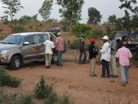
860km AAKK Pipeline Route Survey Project
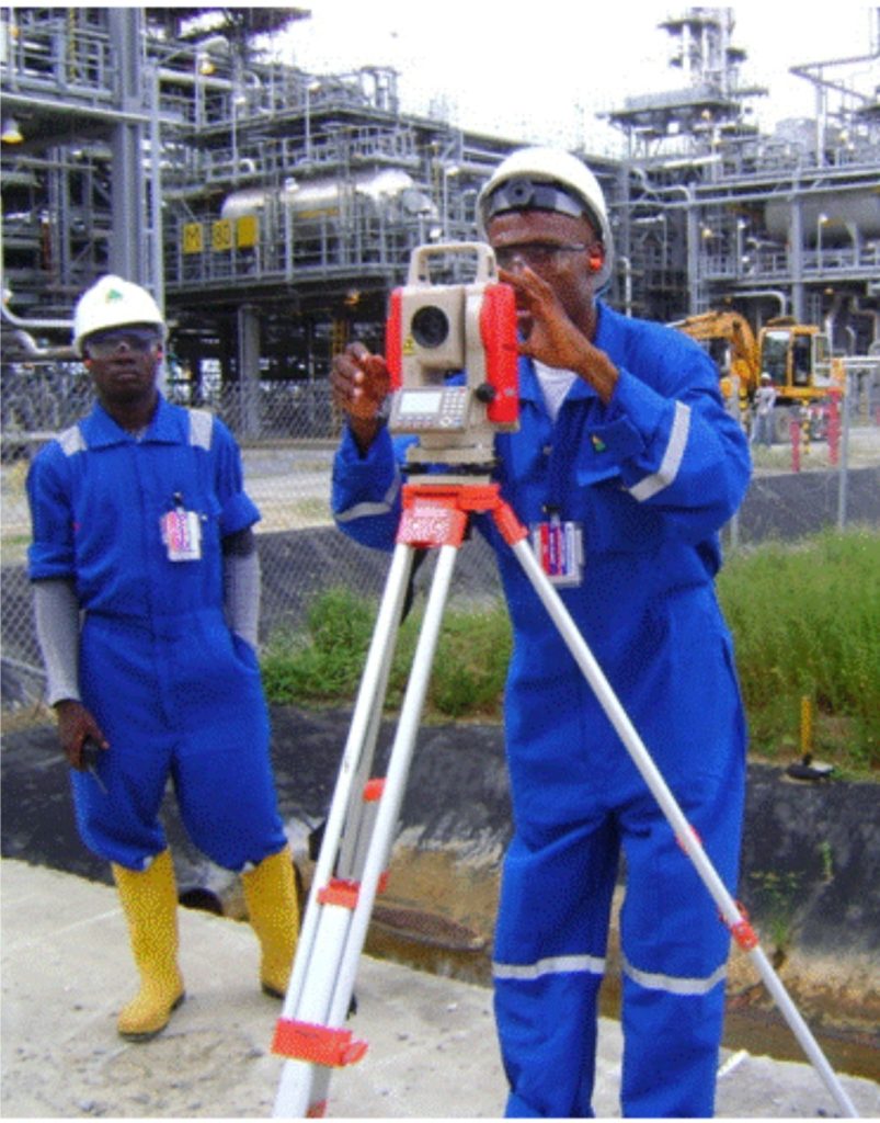
Topographical Survey work at Escravos Terminal-GSEP
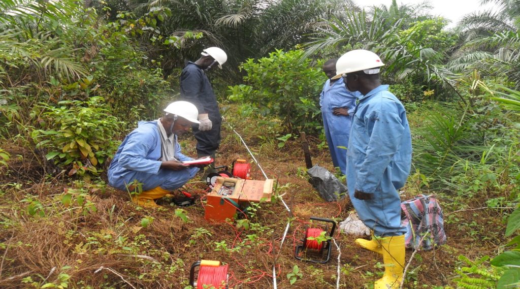
Geophysical Survey Crew at Oron-Uquo Gas Pipeline